
AI-Assisted Drone Inspections: Turning Infrastructure Data Into Predictive Maintenance Intelligence
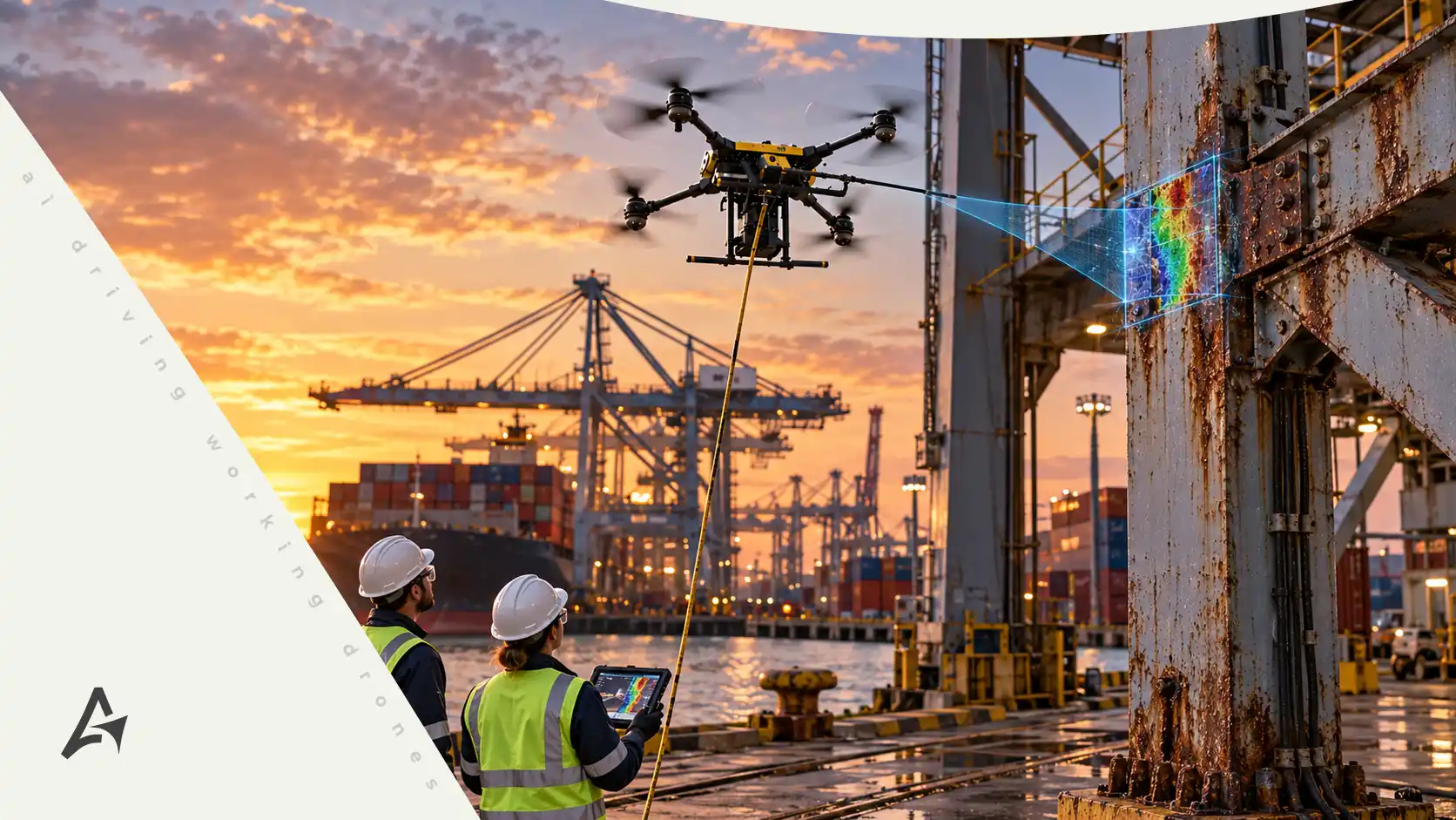
AI-Assisted Drone Inspections are changing how aerospace, defense, utilities, industrial operators, and critical infrastructure owners evaluate asset condition and plan maintenance. Modern drones can collect thousands of high-resolution images, thermal observations, LiDAR measurements, and geospatial data points during a single inspection program. The challenge is no longer simply capturing information. The larger challenge is transforming that information into useful maintenance intelligence.
Aertek’s vision extends beyond using drones as flying cameras. Autonomous aerial systems can become part of a connected inspection workflow where sensors collect asset data, software organizes it, AI-assisted tools help identify areas that deserve attention, and qualified personnel make maintenance decisions based on stronger information.
This progression creates an important shift from isolated inspections toward continuous asset intelligence and more proactive maintenance strategies.
Why Traditional Infrastructure Inspection Is Changing
Critical infrastructure can be difficult to inspect consistently. Industrial facilities contain elevated structures, tanks, roofs, pipelines, mechanical systems, towers, and other assets distributed across large areas. Aerospace facilities include hangars, support buildings, structural systems, ventilation infrastructure, and mission-critical equipment. Utilities operate transmission corridors, substations, and distributed assets that may extend across hundreds of miles.
Traditional inspections remain essential, but they can require technicians to travel between locations, work at height, enter difficult areas, or manually document large numbers of assets.
Drones can expand the reach of inspection teams by collecting detailed information from viewpoints that would otherwise require specialized access.
However, increasing the amount of data creates another challenge. A successful inspection program needs a way to organize, compare, and prioritize what the drone captures.
That is where AI-assisted analysis becomes valuable.
From Drone Imagery to Asset Intelligence
A drone mission can generate a substantial amount of visual information in a short period. High-resolution cameras may capture structural details, coatings, joints, surfaces, equipment, and surrounding conditions. Thermal sensors may reveal differences in temperature. LiDAR can document geometry, vegetation, terrain, and spatial relationships.
Individually, these datasets are useful.
Combined over multiple inspection cycles, they become significantly more powerful.
Asset intelligence emerges when teams can connect collected information to specific infrastructure, compare current conditions with earlier observations, and identify where meaningful changes may be occurring.
Instead of asking only whether an asset was inspected, organizations can begin asking what has changed since the previous inspection and whether that change requires further evaluation.
How AI-Assisted Analysis Supports Inspectors
Large inspection datasets can create significant review workloads. A drone program covering hundreds or thousands of assets may generate more imagery than a small team can efficiently review manually.
AI-assisted software can help organize this information.
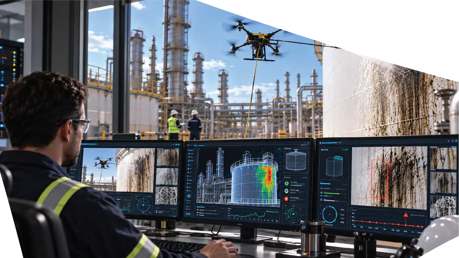
Computer vision systems may be used to identify recurring asset types, categorize images, highlight visual differences, or flag potential anomalies for additional review. The purpose is not to allow software to make final engineering decisions independently.
The objective is to help qualified personnel focus their attention.
If an inspection program generates thousands of images, an AI-assisted workflow can help reduce the time spent searching through normal conditions and direct reviewers toward areas that may deserve closer examination.
Human expertise remains central to the process.
Detecting Change Between Inspection Cycles
One of the strongest applications of AI-assisted inspection is change detection.
A single photograph shows condition at one moment.
Repeated inspection creates a timeline.
When drone imagery is captured consistently, teams may compare the same asset across multiple missions. Software can help organize those comparisons and identify areas where visible conditions appear to have changed.
For example, a maintenance team may want to monitor coating deterioration, corrosion indicators, vegetation growth, surface damage, structural changes, or equipment condition.
The purpose is not to automatically classify every visible difference as a defect. Environmental conditions, lighting, camera angle, and other factors can influence imagery.
Instead, AI-assisted comparison gives inspectors a more efficient way to identify where human attention should be directed.
Thermal Data Adds Another Layer of Visibility
Visual imagery does not reveal every developing problem.
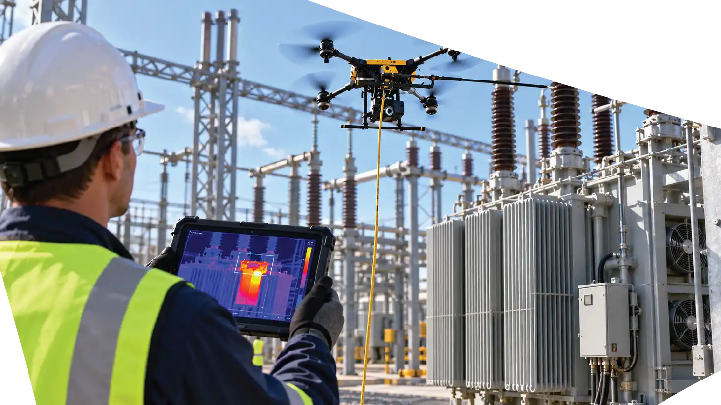
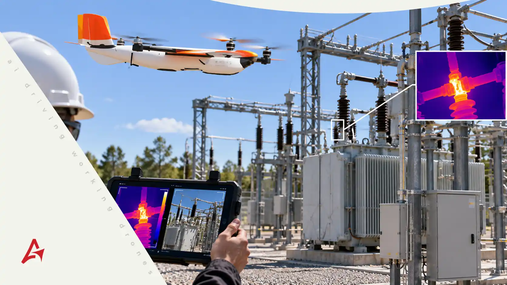
Thermal sensors can provide additional information by identifying temperature differences across equipment and infrastructure. In electrical environments, abnormal heat patterns may justify closer evaluation. In industrial facilities, thermal data may help identify operating conditions that are difficult to recognize from conventional photography alone.
When thermal imagery is combined with high-resolution visual data and asset history, inspection teams gain a broader perspective.
AI-assisted systems can help organize thermal observations alongside other datasets so that technicians can review unusual patterns in context.
The value comes from combining multiple sources of information rather than relying on a single sensor.
LiDAR, Geometry, and Structural Change
LiDAR introduces another dimension to infrastructure inspection.
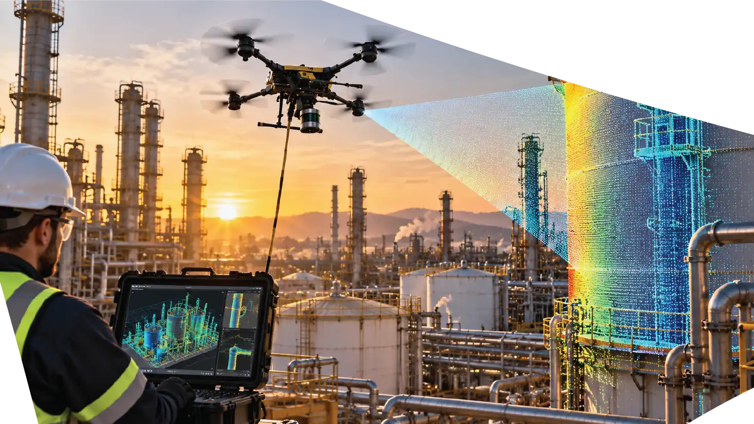
Rather than primarily recording visual appearance, LiDAR captures detailed spatial measurements that can be converted into point clouds and three-dimensional models.
This information can help organizations understand geometry, clearances, vegetation, terrain, structural relationships, and changes over time.
For infrastructure that is mapped repeatedly, teams can compare spatial datasets to evaluate whether conditions have changed.
This becomes particularly useful when combined with the digital twin concepts discussed in Aertek’s drone mapping workflows.
Inspection imagery, LiDAR data, and historical asset information can increasingly exist within the same digital environment.
Thermal Data Adds Another Layer of Visibility
Visual imagery does not reveal every developing problem.
Thermal sensors can provide additional information by identifying temperature differences across equipment and infrastructure. In electrical environments, abnormal heat patterns may justify closer evaluation. In industrial facilities, thermal data may help identify operating conditions that are difficult to recognize from conventional photography alone.
When thermal imagery is combined with high-resolution visual data and asset history, inspection teams gain a broader perspective.
AI-assisted systems can help organize thermal observations alongside other datasets so that technicians can review unusual patterns in context.
The value comes from combining multiple sources of information rather than relying on a single sensor.
Moving From Reactive to Condition-Based Maintenance
Many maintenance programs are still heavily reactive.
A problem is identified, personnel investigate it, and repairs are scheduled.
Drone inspection can help organizations move toward a more condition-based model.
Instead of treating every asset equally, teams can use inspection information to identify which locations require additional attention.
AI-assisted analysis can strengthen this process by helping organize large datasets and highlighting trends that may otherwise be difficult to recognize.
This does not mean every failure can be predicted.
Infrastructure is complex, and unexpected failures can still occur.
Predictive maintenance is ultimately about improving the quality of maintenance decisions by using historical and current condition data more effectively.
Creating a Digital History of Every Asset
One of the most valuable outcomes of recurring drone inspection is the creation of a digital asset history.
Each mission adds another layer of information.
A structure photographed today can be compared with images captured six months or a year later. Thermal observations can be associated with inspection dates. LiDAR surveys can document geometry over time. Maintenance notes can provide context for visible changes.
This historical record becomes increasingly valuable as the number of inspections grows.
Instead of storing unrelated photographs in separate folders, organizations can begin building structured records connected to specific assets.
The result is greater continuity across maintenance teams and inspection cycles.
Applications Across Critical Infrastructure
AI-assisted drone inspection can support many infrastructure environments.
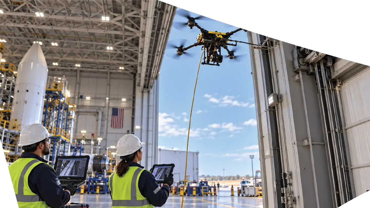
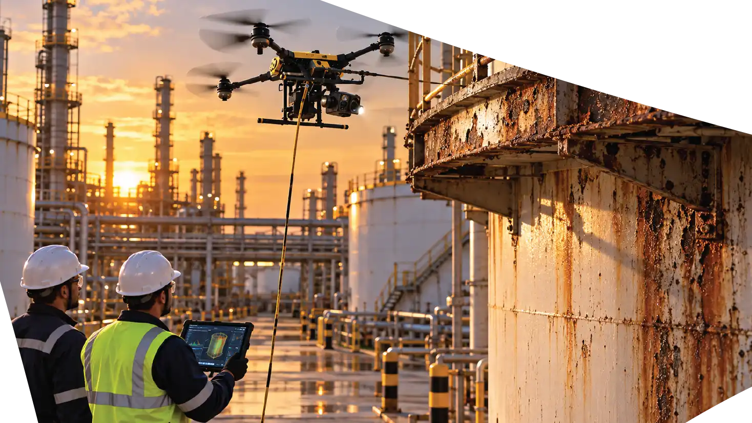
Utilities can use aerial systems to inspect transmission structures, substations, vegetation corridors, and distributed electrical assets. Industrial operators can document tanks, structural steel, pipelines, roofs, towers, and equipment. Aerospace facilities can use drones to review large buildings, elevated systems, exterior structures, and other difficult-access areas.
Defense and government infrastructure can also benefit from inspection processes designed around controlled data collection and repeatable documentation.
The sensor and inspection method should always be selected around the operational requirement.
Some missions may require conventional high-resolution photography. Others may benefit from thermal imaging, LiDAR, or multiple sensors working together.
Connecting Inspection With Digital Twins
AI-assisted drone inspection becomes especially powerful when combined with digital twins.
A digital twin provides a spatial environment where information can be organized around the physical asset.
Drone inspections can continuously add new data to that environment.
Instead of reviewing a finding without context, an engineer can potentially understand where the issue exists within the facility, how the surrounding infrastructure is arranged, and what earlier inspections showed in the same location.
The workflow becomes increasingly connected:
Drone Inspection → Data Processing → Digital Twin → AI-Assisted Review → Human Decision → Maintenance Action
This represents a more integrated model of infrastructure management.
Supporting Better Maintenance Prioritization
Critical infrastructure owners rarely have unlimited maintenance resources.
Personnel, equipment, budget, access windows, and operational schedules all create constraints.
The challenge is determining where maintenance attention should be directed first.
Inspection intelligence can support this prioritization.
If recurring drone missions reveal that certain assets are stable while others show visible or measurable changes, maintenance teams can use that information as part of their decision process.
AI-assisted analysis can help organize the findings, but engineers, inspectors, and asset managers remain responsible for evaluating severity and determining action.
The result is a more focused use of maintenance resources.
Aertek’s Approach to AI-Assisted Inspection
Aertek views drones, sensors, data processing, AI, and autonomous robotics as parts of a larger infrastructure-maintenance ecosystem.
The objective is not simply to fly an aircraft and deliver photographs.
The inspection should support a decision.
That begins by understanding what the customer needs to evaluate. The appropriate aerial platform and sensors can then be selected, data can be captured systematically, and inspection information can be organized for engineering or maintenance review.
As the program matures, recurring missions can build historical datasets that support change detection, digital twins, asset intelligence, and condition-based maintenance.
The Future of Autonomous Infrastructure Maintenance
The future of infrastructure management will increasingly connect digital intelligence with robotic action.
Autonomous systems can inspect assets repeatedly. Digital twins can organize historical information. AI-assisted software can help identify changes. Maintenance teams can evaluate those findings and determine what work is required.
Eventually, robotic systems may perform selected maintenance activities based on those decisions.
The drone gathers information. AI helps organize and analyze it. Human experts make the decision. Autonomous robotics can support suitable physical work.
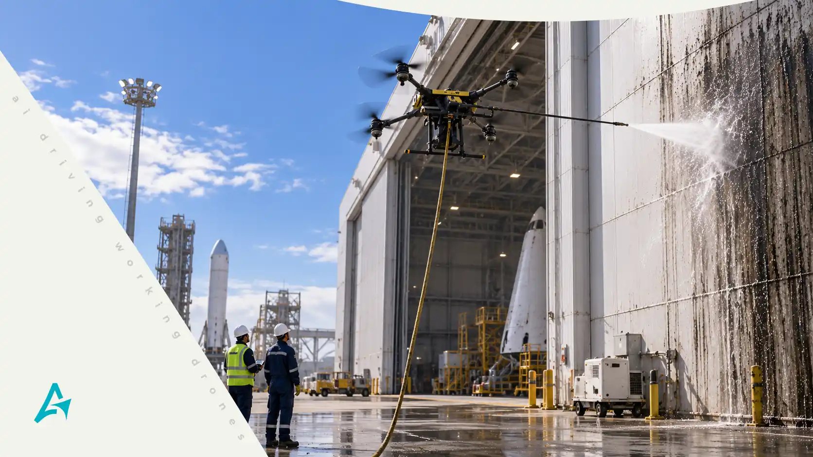
Drone Hazardous Residue Removal: A Safer Approach to Industrial Asset Maintenance
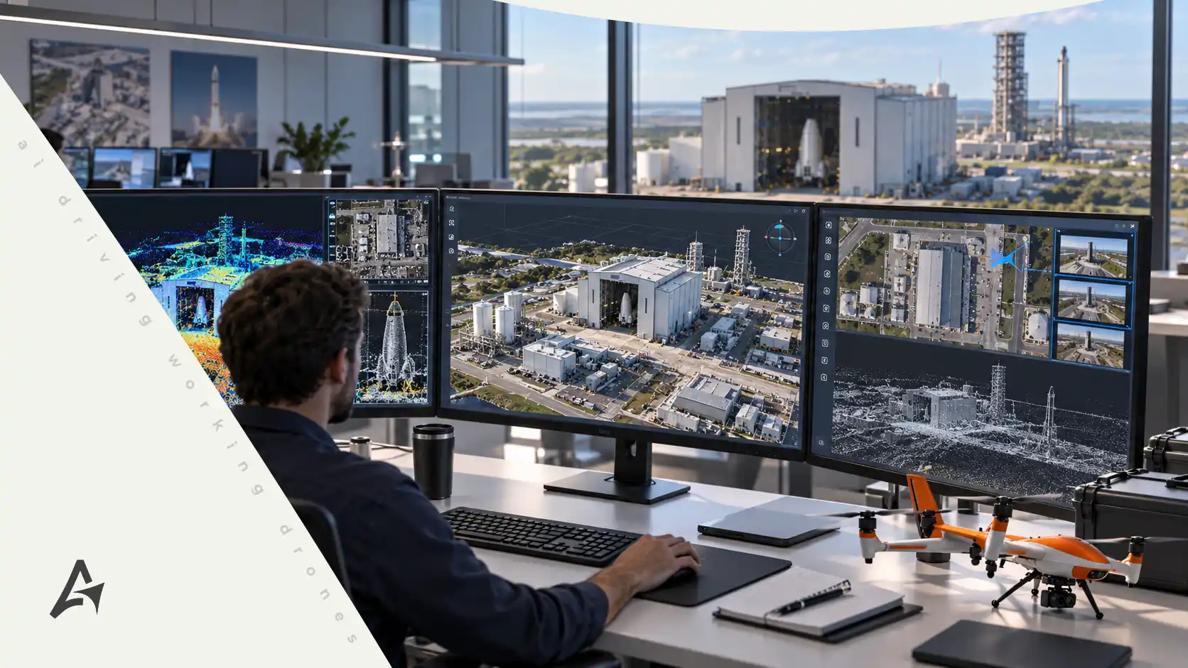
Drone Mapping and Digital Twins: Turning Critical Infrastructure Into Actionable Data
Drone Powerline Inspections: Building a Smarter, More Resilient Grid
Ready to Protect Your Critical Infrastructure?
Partner with AERTEK for autonomous exterior cleaning, infrastructure washdowns, specialized decontamination, facility maintenance, and digital reporting designed to improve safety, efficiency, and operational readiness.