Aertek

Drone Mapping and Digital Twins: Turning Critical Infrastructure Into Actionable Data

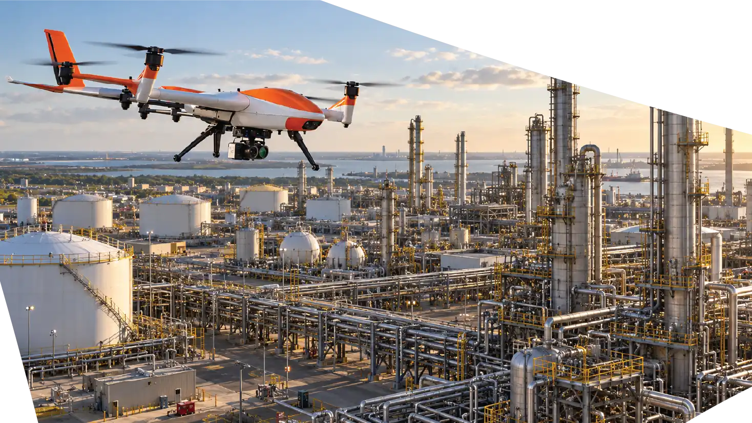
Drone Mapping and Digital Twins are transforming how organizations understand, inspect, document, and manage critical infrastructure. Instead of relying only on conventional drawings, isolated field inspections, static photographs, or manually collected measurements, drone-based mapping can capture detailed spatial information and convert it into accurate digital representations.

A well-designed mapping mission can generate geospatial information that supports engineering assessments, maintenance planning, measurements, asset documentation, and long-term change detection.

Aertek approaches drone mapping as part of a broader infrastructure-intelligence strategy. By combining autonomous aerial systems, photogrammetry, LiDAR, geospatial processing, 3D modeling, and digital twin technologies, physical infrastructure can become a digital asset that organizations can analyze, compare, and use throughout its operational lifecycle.

What Is Drone Mapping?

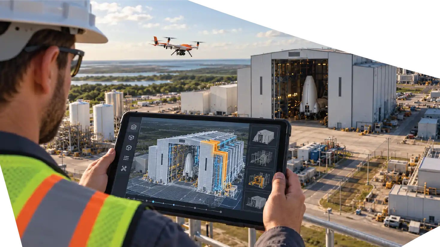
A digital twin extends the concept of a 3D model by connecting the digital representation with information related to the real-world asset. While a standard 3D model primarily represents geometry and appearance, a digital twin can associate spatial information with inspection history, maintenance activity, asset identification, engineering records, imagery, and other operational information.

Organizations need to understand an asset’s condition, how it has changed, what work has been performed, and which areas may require attention.

A digital twin can provide engineering, maintenance, facility management, and inspection teams with a common visual reference.

From Aerial Images to 3D Infrastructure Models

The value of a mapping mission increases significantly when captured data is converted into a three-dimensional model.

A traditional photograph provides a visual perspective.

A 3D model provides spatial context.

Teams can understand how structures relate to one another, evaluate elevations, review difficult-to-access areas, and make measurements within the digital environment.

Photogrammetry is one of the most common methods for creating these models.

The process uses overlapping photographs captured from different positions. Specialized software identifies common features between images and reconstructs the geometry of the scene.

The result can be an accurate digital model with realistic surface textures.

For large facilities, this can create a powerful visual reference that is easier to explore than hundreds of individual photographs.

What Is a Digital Twin?

A digital twin extends the concept of a 3D model by connecting the digital representation with information related to the real-world asset. While a standard 3D model primarily represents geometry and appearance, a digital twin can associate spatial information with inspection history, maintenance activity, asset identification, engineering records, imagery, and other operational information.

Organizations need to understand an asset’s condition, how it has changed, what work has been performed, and which areas may require attention.

A digital twin can provide engineering, maintenance, facility management, and inspection teams with a common visual reference.

aertek-drone-mapping-digital-twins

How Drone Mapping Builds the Foundation for Digital Twins

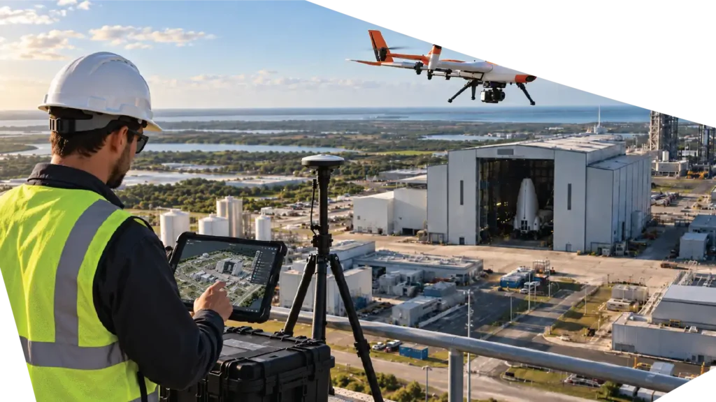
A digital twin begins with reliable information about the real-world environment. Drone mapping provides an efficient way to capture that information across large areas and complex infrastructure.

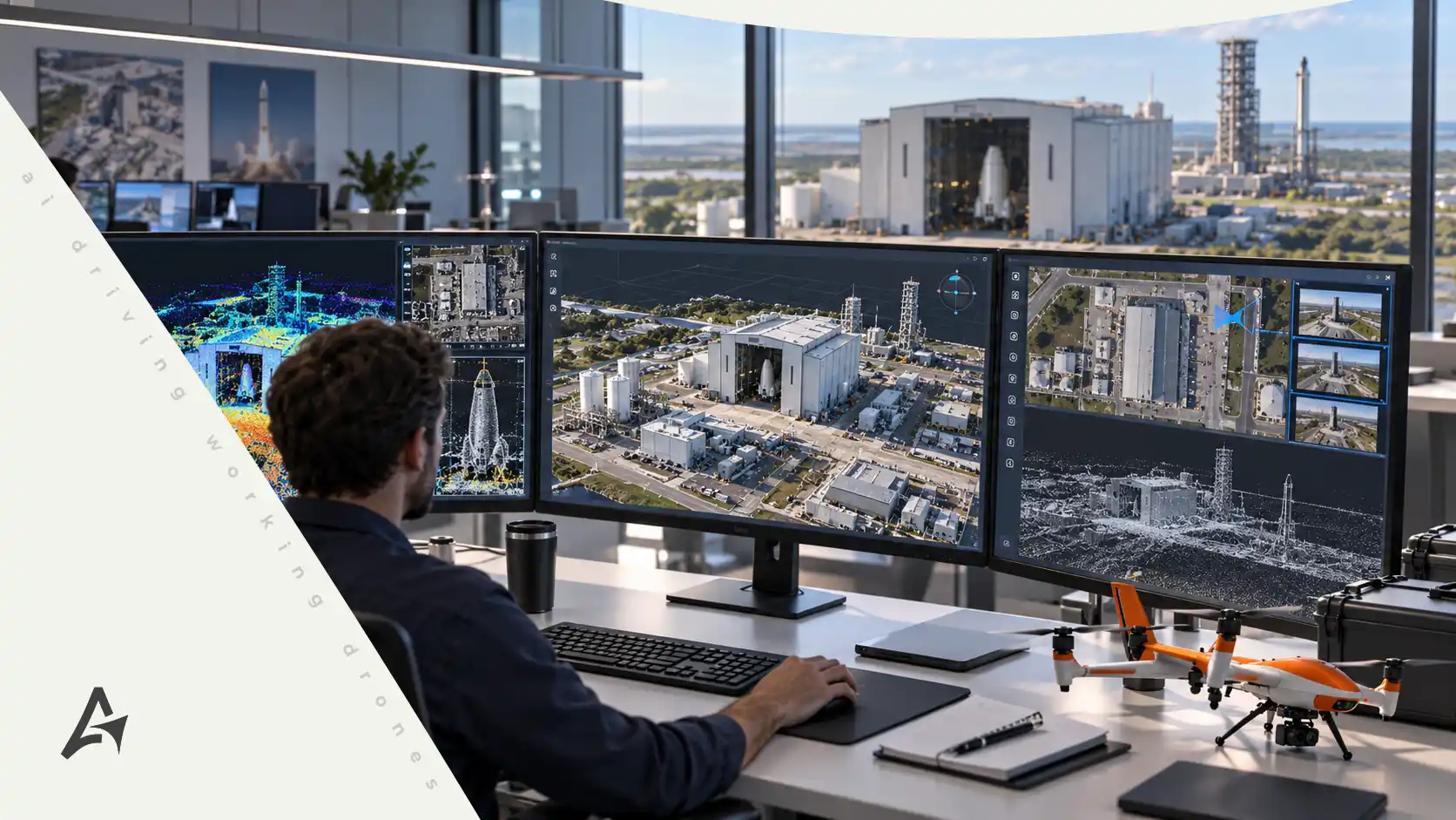
A typical workflow begins with mission planning, where the required area, resolution, sensors, flight paths, and operational objectives are defined. The drone then captures high-resolution imagery, LiDAR data, or both. Processing converts this information into point clouds and 3D models, which can then be connected with asset information, inspection data, maintenance history, or engineering records.

The progression can be understood as Flight Planning → Data Capture → Photogrammetry or LiDAR → Point Cloud → 3D Model → Asset Information → Digital Twin.

The result becomes a digital framework that can help organizations understand and manage the physical asset over time.

aertek-drone-mapping-digital

Photogrammetry and LiDAR

Photogrammetry reconstructs surfaces and geometry from overlapping photographs. Because the source data is visual, it can produce detailed models with realistic textures, making it useful for facility documentation, building models, orthomosaic imagery, construction progress, and surface evaluation.

LiDAR works differently. The sensor uses laser measurements to calculate distance and generate a dense three-dimensional point cloud. This makes LiDAR useful for complex structures, vegetation, terrain, utility corridors, heights, clearances, and other spatial relationships.

In many projects, the technologies complement one another. Photogrammetry provides rich visual information while LiDAR contributes detailed spatial measurements and structural geometry.

Mapping Critical Infrastructure

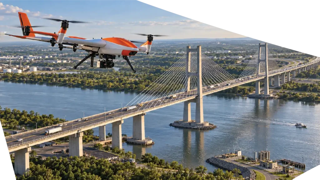
Critical infrastructure is often difficult to document comprehensively using ground-based methods. Industrial facilities may contain large roofs, tanks, pipe networks, towers, structural steel, restricted areas, and extensive exterior spaces. Aerospace facilities can include hangars, elevated structures, ventilation systems, large doors, maintenance areas, support buildings, and specialized equipment. Utilities may need to document substations, transmission corridors, towers, vegetation, and rights-of-way across large geographic areas.

Drone mapping allows organizations to capture these environments from multiple perspectives while reducing the need to physically access every location during initial data collection. Engineering teams can review geometry, maintenance personnel can evaluate access conditions, and managers can use the model to improve coordination and planning.

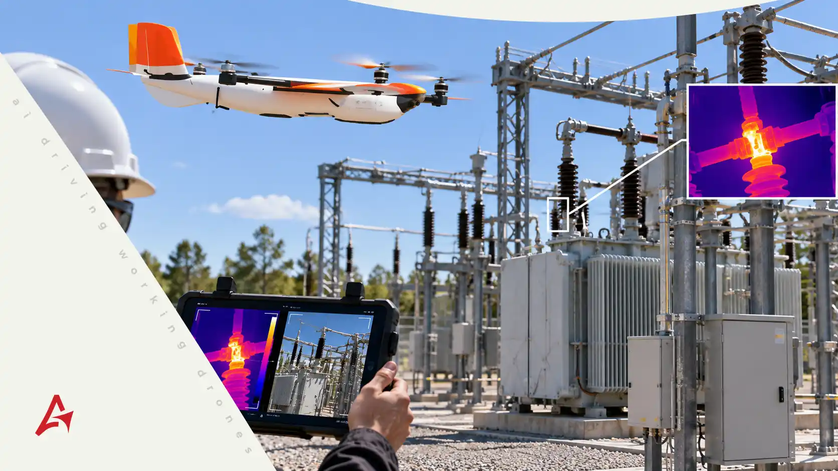
For utilities, photogrammetry can provide visual models of facilities and equipment, while LiDAR can help capture terrain, vegetation, conductors, towers, and clearance relationships. The resulting digital environment can complement GIS, engineering, or asset-management platforms.

aertek-drone-mapping-digital2d-data-image

Tracking Infrastructure Change Over Time

One of the strongest advantages of drone mapping is repeatability. A single mission documents an asset at a particular moment, but recurring missions create a history of how that asset changes.

If the same facility is mapped periodically, teams can compare datasets and evaluate structural modifications, construction progress, vegetation growth, equipment installation, surface changes, site expansion, or changes in access conditions.

This changes the question from “What does the site look like today?” to “What has changed since the previous survey?” That historical perspective can support better asset management and more informed inspection planning.

Supporting Maintenance and Engineering Planning

Maintenance work often begins long before personnel arrive at the site. Teams may need to evaluate equipment positioning, clearances, access routes, structure geometry, work zones, or relationships between assets before a project can be executed efficiently.

A detailed digital model can provide context during this planning stage. Engineers can study the facility remotely, maintenance teams can review potential access points, and contractors can better understand site conditions before mobilizing equipment.

This does not eliminate field verification or professional engineering judgment. It gives teams better information before physical work begins and can make site visits more focused.

Connecting Digital Twins With AI-Assisted Analysis

Digital twins become more powerful when combined with AI-assisted analysis. Aertek’s broader vision is not simply to capture infrastructure, but to help organizations understand how assets are changing and where additional inspection or maintenance may be required.

AI-assisted workflows can help organize large volumes of imagery, compare information from recurring missions, identify visual differences, and flag areas for human review.

The workflow becomes Drone Capture → Digital Twin → AI-Assisted Analysis → Maintenance Decision.

The drone supplies the data, the digital twin organizes the physical environment, and AI can help process information at scale. Human experts remain responsible for interpreting results and determining the appropriate action.

aertek-drone-mapping-digital-twins-infrastructure

From Mapping to Asset Intelligence

As an organization accumulates mapping data over time, recurring surveys create historical datasets that may reveal patterns involving structures, vegetation, surfaces, equipment, or site conditions.

When these observations are combined with maintenance records and inspection history, teams can better prioritize where attention is required. The goal is not to claim that every failure can be predicted, but to improve maintenance decisions by giving engineers and asset managers more complete information.

This is where drone mapping begins to evolve into asset intelligence.

The Future of Autonomous Infrastructure Management

The long-term opportunity extends beyond creating 3D models. A facility can be mapped repeatedly, new data can update the digital twin, AI-assisted systems can compare current conditions against historical records, and maintenance teams can review identified changes before taking action.

The workflow becomes Inspect → Map → Analyze → Decide → Maintain.

Drone mapping creates the digital foundation. Digital twins organize the information. AI-assisted systems help identify change. Human experts make the decisions, while autonomous robotics can support selected inspection or maintenance activities.

Aertek’s Approach to Drone Mapping and Digital Twins

As an organization accumulates mapping data over time, recurring surveys create historical datasets that may reveal patterns involving structures, vegetation, surfaces, equipment, or site conditions.

When these observations are combined with maintenance records and inspection history, teams can better prioritize where attention is required. The goal is not to claim that every failure can be predicted, but to improve maintenance decisions by giving engineers and asset managers more complete information.

This is where drone mapping begins to evolve into asset intelligence.

Ready to Protect Your Critical Infrastructure?

Partner with AERTEK for autonomous exterior cleaning, infrastructure washdowns, specialized decontamination, facility maintenance, and digital reporting designed to improve safety, efficiency, and operational readiness.