
AUTONOMOUS UTILITY INSPECTION
Drone Powerline Inspections
Drone powerline inspections give utilities and infrastructure operators a safer, faster, and more data-driven way to assess transmission and distribution assets. AERTEK applies advanced aerial robotics, high-resolution imaging, thermal sensing, LiDAR integration, and AI-assisted inspection technologies to help identify areas of concern while reducing unnecessary personnel exposure around energized infrastructure, elevated structures, and difficult terrain.
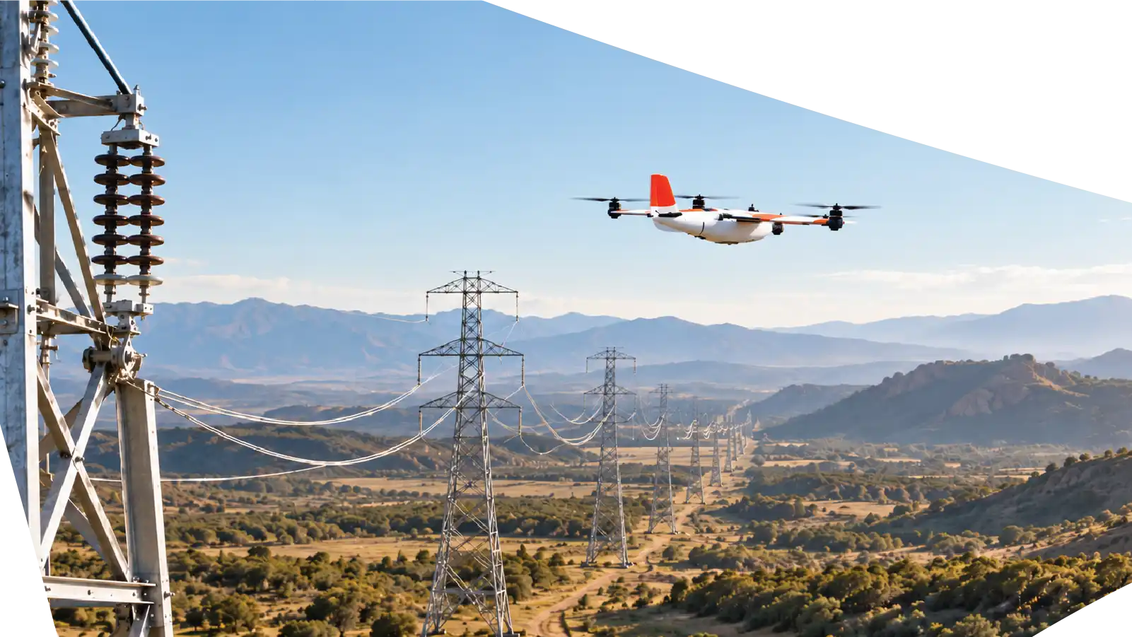
Inspect Critical Infrastructure Without Unnecessary Exposure
Powerline inspections often require crews to work around energized equipment, elevated structures, remote corridors, uneven terrain, and difficult-access locations.
Traditional inspection methods may involve climbing towers, using bucket trucks, deploying helicopters, or positioning personnel close to electrical infrastructure.
AERTEK is developing a more intelligent approach.
Our aerial robotic systems enable inspection teams to capture detailed information from powerlines, transmission towers, utility poles, insulators, conductors, substations, and surrounding infrastructure while keeping more personnel safely on the ground.
The objective is not simply to fly over an asset.
The objective is to transform aerial data into useful infrastructure intelligence that supports safer inspections, better maintenance decisions, and improved grid reliability.
Reduce Work at Height
Drone powerline inspections Inspect elevated electrical assets while reducing the need for climbing, ladders, lifts, and other personnel-intensive access methods.
ADVANCED SENSING
See Beyond Visual Inspection
ASSET INTELLIGENCE
Turn Inspection Data Into Decisions
Organize imagery, measurements, observations, and areas of interest into digital records that support engineering and maintenance teams.
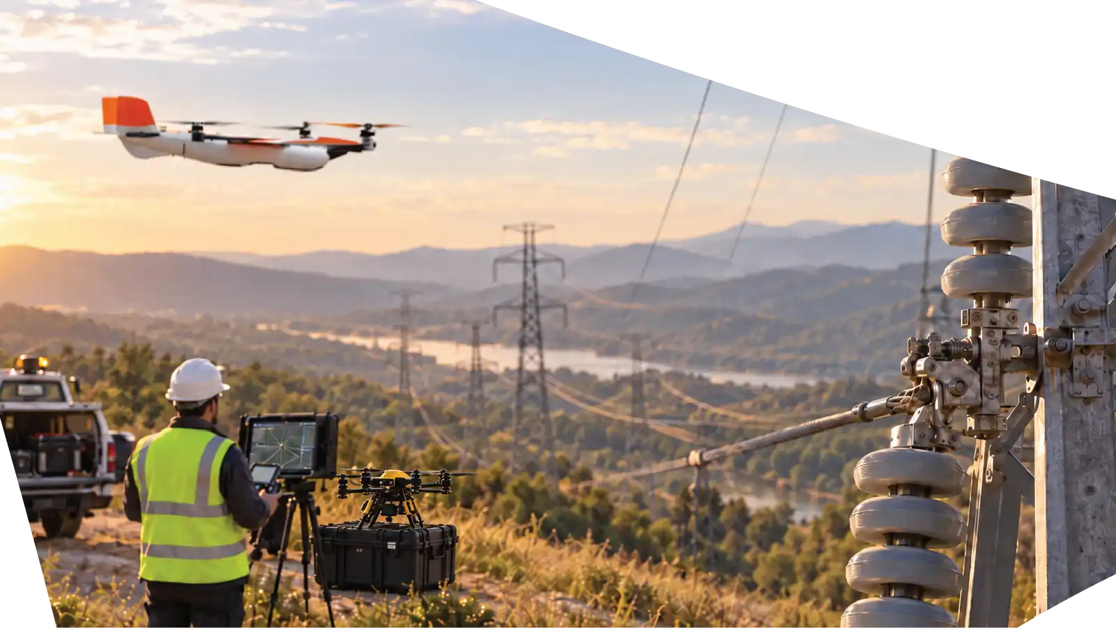
Infrastructure We Can Support
AERTEK aerial inspection solutions can be configured for transmission lines, distribution networks, utility poles, transmission towers, electrical conductors, insulators, crossarms, connectors and hardware, substations and associated structures, right-of-way corridors, vegetation zones, and other difficult-access utility infrastructure.
Mission requirements vary by asset, location, operating environment, and inspection objective. AERTEK evaluates each project individually to determine the appropriate robotic and sensing configuration.
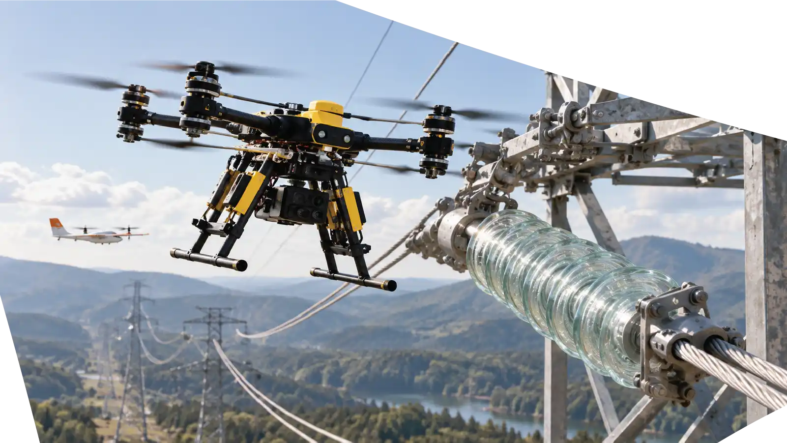
Powerline Inspection Capabilities
AERTEK combines aerial robotics with advanced sensing and digital inspection technologies to support utility infrastructure assessment across complex operating environments.
Vegetation & Right-of-Way Assessment
Aerial data collection can help identify vegetation growth and other potential encroachments along transmission and distribution corridors.
Repeated inspections also allow operators to compare conditions over time and prioritize areas requiring vegetation management or closer review.
AI-Assisted Inspection
Large powerline networks can generate substantial volumes of imagery.
AERTEK is developing AI-assisted inspection workflows designed to help organize inspection data, identify potential anomalies, classify areas of interest, and accelerate engineering review.
AI supports the inspection team by helping transform large datasets into more manageable asset intelligence.
Digital Documentation
Inspection missions can generate organized digital records containing imagery, geospatial information, observations, identified areas of interest, and other mission-specific data.
These records can support maintenance planning, engineering assessment, asset management, historical comparison, and future predictive maintenance strategies.
High-Resolution Visual Inspection
Capture detailed imagery of towers, poles, conductors, insulators, connectors, crossarms, hardware, and other electrical infrastructure.
Visual inspection data can support the identification and documentation of visible conditions such as corrosion, physical damage, deterioration, missing components, damaged hardware, or other areas requiring additional engineering review.
Thermal Inspection
Thermal imaging can support the identification of temperature anomalies across electrical infrastructure when appropriately configured for the mission.
Abnormal thermal signatures may help maintenance teams locate components or connections that warrant closer evaluation before conditions develop into larger operational problems.
LiDAR & Corridor Mapping
LiDAR and aerial mapping technologies can provide detailed three-dimensional information about powerline corridors and surrounding terrain.
This data can support applications such as vegetation analysis, conductor clearance assessment, right-of-way documentation, terrain modeling, infrastructure mapping, and digital engineering workflows.
Powerline Inspection
Frequently Asked Questions
What powerline components can drones inspect?
Depending on the mission, aerial systems can capture information from transmission towers, utility poles, insulators, conductors, crossarms, connectors, hardware, substations, and surrounding right-of-way areas.
Can AERTEK perform thermal powerline inspections?
Thermal imaging can be integrated when required by the inspection scope. Thermal data may help identify temperature anomalies that require additional maintenance or engineering evaluation.
Can LiDAR be used during powerline inspections?
Yes. LiDAR can support detailed three-dimensional mapping of utility infrastructure, terrain, vegetation, and powerline corridors. Applications can include clearance assessment, vegetation analysis, corridor mapping, and digital modeling.
Can drones help identify vegetation encroachment?
How does AI support powerline inspections?
AI-assisted workflows can help organize large volumes of imagery, detect patterns, classify potential areas of interest, and accelerate inspection review. Final maintenance and engineering decisions remain part of the appropriate professional assessment process.
Does drone inspection eliminate the need for manual inspections?
Not necessarily. Drone inspection is a powerful tool for collecting information and reducing unnecessary access to hazardous or difficult areas. Certain findings may still require specialized testing, engineering evaluation, or direct physical inspectio
Ready to Protect Your Critical Infrastructure?
Partner with AERTEK for autonomous exterior cleaning, infrastructure washdowns, specialized decontamination, facility maintenance, and digital reporting designed to improve safety, efficiency, and operational readiness.