
AI-Assisted Drone Inspections: Turning Infrastructure Data Into Predictive Maintenance Intelligence

AI-Assisted Drone Inspections: Turning Infrastructure Data Into Predictive Maintenance Intelligence Home AI-Assisted Drone Inspections are changing how aerospace, defense, utilities, industrial operators, and critical infrastructure owners evaluate asset condition and plan maintenance. Modern drones can collect thousands of high-resolution images, thermal observations, LiDAR measurements, and geospatial data points during a single inspection program. The challenge […]
Drone Mapping and Digital Twins: Turning Critical Infrastructure Into Actionable Data

Drone Mapping and Digital Twins: Turning Critical Infrastructure Into Actionable Data Home Drone Mapping and Digital Twins are transforming how organizations understand, inspect, document, and manage critical infrastructure. Instead of relying only on conventional drawings, isolated field inspections, static photographs, or manually collected measurements, drone-based mapping can capture detailed spatial information and convert it into […]
Drone Powerline Inspections: Building a Smarter, More Resilient Grid
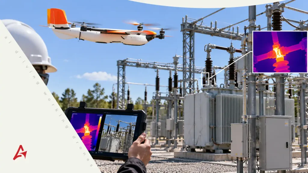
Drone Powerline Inspections: Building a Smarter, More Resilient Grid Home Drone Powerline Inspections are changing how utilities monitor transmission and distribution infrastructure across long, difficult, and often hazardous corridors. Instead of relying only on ground patrols, bucket trucks, or crewed aircraft, utilities can deploy unmanned aerial systems to capture high-resolution visual, thermal, and LiDAR data […]