
AERIAL MAPPING & GEOSPATIAL INTELLIGENCE
Precision Drone Mapping for Critical Infrastructure
Transform complex sites into accurate, actionable geospatial intelligence with advanced drone mapping, LiDAR, photogrammetry and 3D modeling.
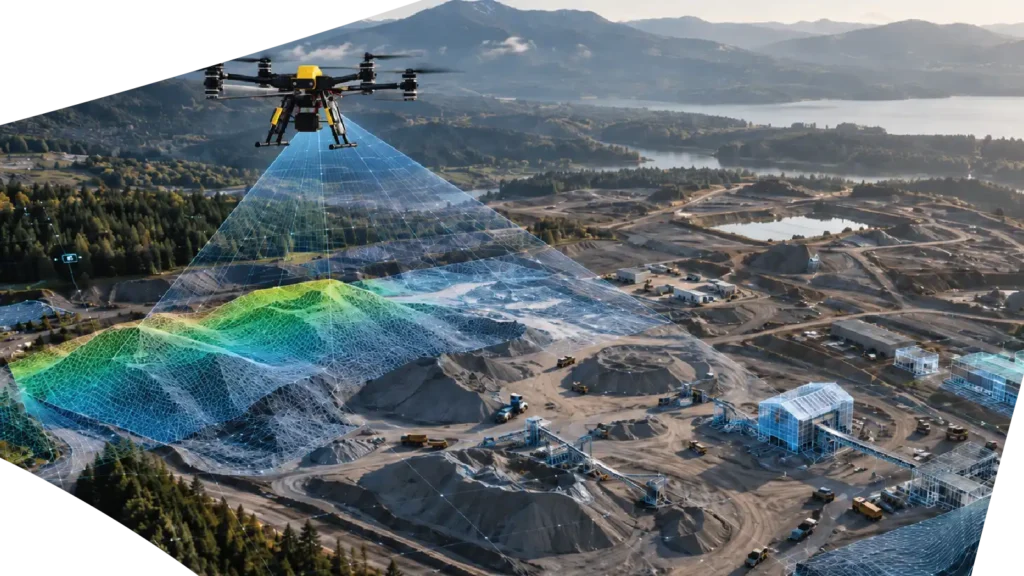
AERTEK Drone Mapping Services combine autonomous aerial data collection with advanced processing technologies to create high-resolution maps, digital terrain models, point clouds and 3D representations of infrastructure and industrial environments.
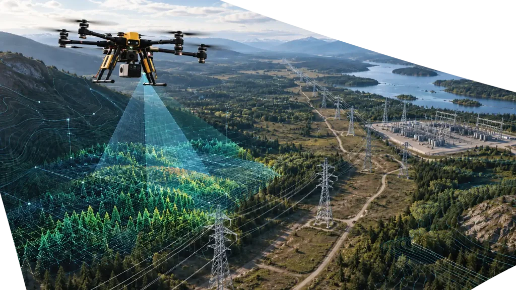
From utility corridors and construction sites to aerospace facilities and critical infrastructure, our aerial systems capture detailed spatial data while reducing the need for personnel to access difficult, elevated or hazardous areas.
GEOSPATIAL INTELLIGENCE
See More. Measure More. Understand More.
Traditional site documentation can require extensive field work, multiple access points and significant time to collect usable information.
Drone-based mapping provides a faster and more scalable way to document large or difficult environments from above.
AERTEK combines high-resolution aerial imagery, LiDAR, photogrammetry and geospatial processing to create digital datasets that help engineering, maintenance, operations and asset-management teams better understand the environments they manage.
The result is more than an aerial image.
It is a measurable digital representation of your site that can support planning, inspection, documentation, maintenance and long-term asset intelligence.
MAPPING TECHNOLOGY
From Aerial Capture to Digital Intelligence
AERTEK adapts each mapping mission to the environment, project requirements and required deliverables.
Photogrammetry
LiDAR Mapping
High-Resolution Orthomosaics
3D Mapping & Digital Models
Terrain & Elevation Modeling
Drone mapping data can be processed into Digital Surface Models and Digital Terrain Models to support understanding of:
- Terrain conditions
- Drainage patterns
- Elevation changes
- Site development
- Access planning
- Infrastructure corridors
Volumetric Analysis
Three-dimensional mapping makes it possible to calculate and track material volumes for applications such as:
- Stockpiles
- Excavations
- Earthworks
- Aggregate facilities
- Construction projects
- Material movement
THE NEXT LAYER
Building the Foundation for AI-Driven Asset Intelligence
Drone mapping creates structured visual and spatial datasets that can support increasingly intelligent infrastructure-management systems.
When repeatable aerial data is combined with AI-assisted analysis, organizations can move toward automated identification of changes, anomalies and maintenance priorities.
Potential applications include:
- Automated change detection
- Asset recognition
- Vegetation analysis
- Infrastructure classification
- Condition monitoring
- AI-assisted inspection
- Predictive maintenance
- Digital twin updates
For AERTEK, mapping is not simply about creating maps.
It is about creating the digital foundation required for the next generation of autonomous infrastructure operations.
Drone Mapping
Frequently Asked Questions
What is drone mapping?
Drone mapping uses unmanned aerial systems equipped with cameras, LiDAR or other sensors to capture spatial information from a site. The collected data can be processed into georeferenced maps, point clouds, elevation models and three-dimensional representations.
What is the difference between drone mapping and aerial photography?
Aerial photography primarily creates images for visual observation. Drone mapping uses systematically captured overlapping imagery or sensor measurements to create geospatial datasets that can be measured, analyzed and incorporated into digital workflows.
What is photogrammetry?
What is LiDAR drone mapping?
LiDAR mapping uses laser measurements to create dense three-dimensional point clouds of terrain and infrastructure. It is particularly useful when accurate geometry, elevation information or data beneath vegetation is required.
What types of deliverables can AERTEK provide?
Can drone mapping data support digital twins?
Yes. High-resolution imagery, point clouds and 3D models can provide valuable source data for the creation and updating of digital representations of physical assets.
Is drone mapping the same as a licensed land survey?
Not necessarily. Drone mapping can produce highly detailed geospatial information, but projects requiring legally certified boundaries or licensed survey deliverables must comply with applicable state and professional surveying requirements. AERTEK scopes each mission according to the intended use of the data.
Ready to Protect Your Critical Infrastructure?
Partner with AERTEK for autonomous exterior cleaning, infrastructure washdowns, specialized decontamination, facility maintenance, and digital reporting designed to improve safety, efficiency, and operational readiness.